

The complete route in the roadbook
Follow our planned journey of around six months from departure to the final stage we release, including the route history.
This is how an interactive route works.This is Trackiwi's official example, not NAT on Tour's current location. Inside the club, we show our shared points on our own protected map. For safety reasons, the displayed location may be delayed by up to three days.
The digital roadbook accompanies our planned journey of around six months with the complete route we publish, selected pitches and overnight stops, weather, stage information, photos and personal updates. Full access is a one-time payment of €9.99 – with no subscription or recurring charges.
Follow our planned journey of around six months from departure to the final stage we release, including the route history.
We mark selected pitches and overnight places and add practical notes wherever safety and privacy allow it.
You also get weather, stage information, photos, short stories and additional notes from life on the road.
The route never stands alone in the members area. Our notes from each stage and the private photo album sit right beside it, turning a point on the map into a real travel story.
Photos from our published stops are collected here automatically.
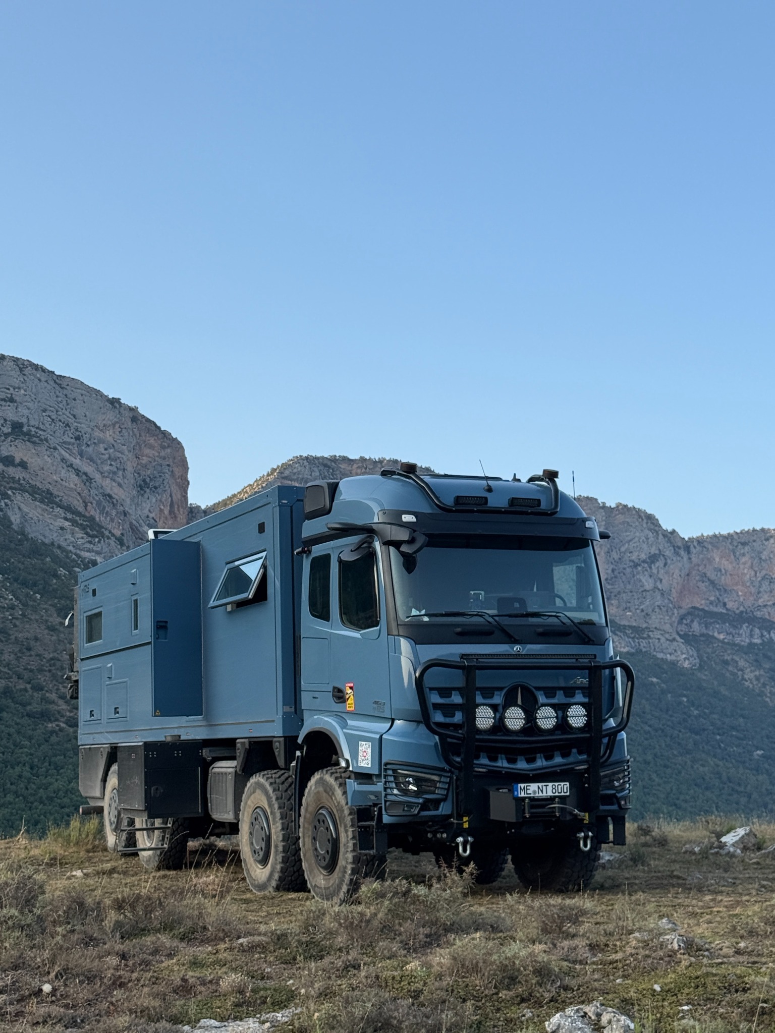


Preview with existing NAT on Tour photos.